MGISS supports FM Conway to reduce on-site risks and improve asset visibility using augmented reality
One of the UK’s leading geospatial technology firms is harnessing the power of augmented reality to improve utility asset visibility and reduce the need for site excavation in major infrastructure projects.
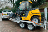
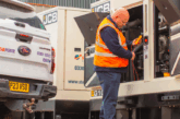
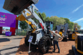
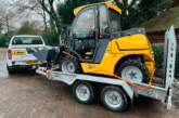
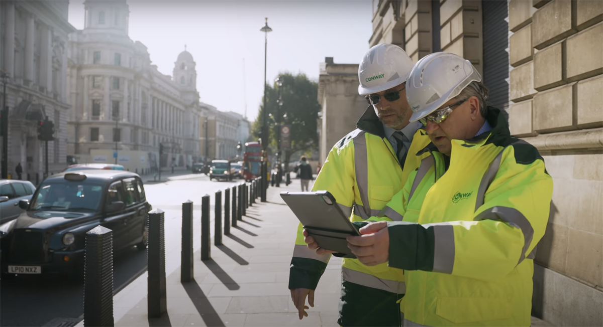
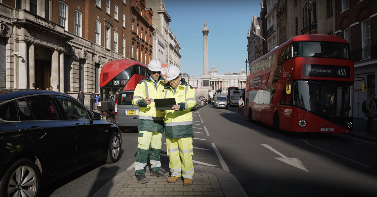
Civil engineering contractor, FM Conway, undertakes regular maintenance on buried utility assets across the UK and this often requires complex and hazardous excavation work to determine the condition of the assets.
FM Conway has a wealth of 3D data that it uses to create design models of buried assets, but this is often supplied to on-site engineers in 2D format, which can be challenging to interpret.
Their engineers required access to better visual representations of buried assets to safely assess their condition, reducing both the need for excavation and the likelihood of service strikes due to damaged assets.
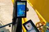
MGISS supplied a situational awareness solution to FM Conway, comprising augmented reality software which integrates all 3D geospatial utility data and presents it through an app, allowing engineers to see both the highway and the subsurface utilities in real time.
The vGIS solution uses accurate survey and scan data to create virtual 3D projects with fully customisable layers, providing visibility over buried gas, water, electric, telecoms and unmarked assets, showing a visual representation of their size, depth and exact location.
The app is accessible through a QR code, which means anyone with a smart device can investigate the assets in situ, ensuring all relevant personnel have visibility over buried assets in specific sites.
Many of the sites FM Conway works on, particularly in central London, are footpaths congested with underground utility networks, so the simplicity and accessibility of this solution delivers valuable insights to the team.
This intelligent solution, powered by X-ray vision clarity, is now simplifying field work, improving productivity and streamlining processes for the engineering teams at FM Conway.
Darren Harlen, Head of Consultancy at FM Conway, said: “We’re supporting excavations by removing the need for sprayed line tracing, and we’re able to project 3D data demonstrating the size, depth and labels for underground assets which we’ve surveyed using GPR.
“Reality capture is enabling us to reduce risk by removing the need to undertake excavations when completing maintenance work on assets we’ve already scanned using the platform.
“We’ve worked closely with MGISS to develop a system that works for us, leveraging their skills and expertise to rapidly deploy a solution to reduce risks across our excavation sites.”
View a short video of the impact this solution is having here.
Daniel Taylor, Technology Platform and Services Sales Manager at MGISS, added: “FM Conway needed a data-led solution that would improve visibility and reduce the need for physical excavation on its sites.
“Now, through the power of augmented reality, the team have a robust system in place which is streamlining their design, build and maintenance processes.
“This technology has a multitude of applications, across varying sectors, and the MGISS team looks forward to exploring new opportunities to integrate this solution, minimising on-site risk and delivering valuable time-savings to our customers.”
Find out more about this solution and MGISS’s geospatial solutions here.