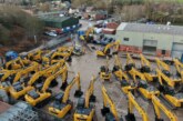
Measured survey expert CADS is experiencing rising demand for site surveys conducted using the latest drone scanning technology.
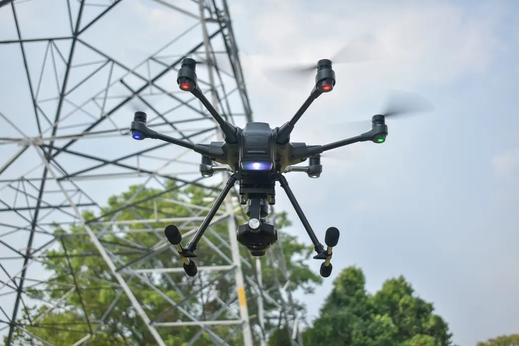
Working with their aerial drone survey partners, CADS uses remote UAVs (Unmanned Aerial Vehicles) to fly over sites and structures, whilst onboard scanning technology takes millions of measurements to help create a detailed plan or model.
“Drones provide a quick and accurate survey which increasingly meets the needs of so many of the developers, architects and property managers we work with” says Mark Johnson, National Account Manager at CADS.
A survey specialist for over 35 years, CADS launched its first drone survey capabilities in 2021 and have continued to invest in drone technology and skills.
“We were early adopters of drone surveys, just as we have been with many other innovations. Demand is increasing and our focus on delivering the right solution for our clients means that speed, accuracy and cost-effectiveness continue to rise for them too” adds Mark.
CADS’ drones use a LiDAR (Light Detection and Ranging) scanner to measure how long it takes for a laser pulse to bounce back off surfaces to calculate distances.
Coupled with GNSS (the Global Navigation Satellite System), the information is brought together in a point cloud which provides highly detailed data from which 2D plans and 3D models can be produced.
“Surveying has progressed enormously since we began with a tape measure and hand drawn plans! The biggest change in the built environment is the pace at which things need to happen. Coupled with all the support we deliver, drone surveys get our clients the data they need fast” says Mark.
CADS reports drone scanning is being increasingly used for topographical surveys (of a site’s features and contours) to create land survey drawings and digital terrain models.
As CADS’ drone technology is able to capture high-resolution imagery, it is also used for applications including the inspection of inaccessible roofs or to provide ‘as-built’ data to ensure construction projects are being delivered to plan.
In addition, CADS is also using drone technology for infrared imaging to evaluate a building’s thermal properties and help them achieve BREEAM certification for sustainability.
“It wasn’t long ago that accessing every square metre of a site was time consuming and often hazardous. Now, the drone can gather critical data and imagery in a matter of minutes” adds Mark.
With new technology being increasingly exploited for constructing and maintaining buildings, 2D and 3D digital models provide an easy-to-use visual medium to help facilitate collaboration between all project participants.
As well as forming the foundation of the design, survey data helps architects assess risks and plan projects to avoid potential issues or delays.
CADS’ survey team work with architects, project teams and building contractors across the UK and beyond, to deliver fast and accurate data which adds value to the whole construction process.
“Due to demand, drone surveys are becoming the norm for land surveys and we’re delighted to play a role in helping the UK create and maintain a built environment ready for the challenges ahead” concludes Mark.
More information about CADS’ drone and other measured surveys can be found at https://cadsonline.com/measured-surveys/drone-land-surveys/